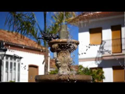
Right at the top of the village is the Ermita del Santuario, which is also known as Convento de la SantŅsima Virgen de la Candelaria, the patron saint of the village. It was built in the 17th...
This web page uses its own cookies and the third-party cookies to collect the information which help us make the service as good as possible. By no means is our intention to use it for gathering personal data.

Between the AxarquĒa region and Montes de Mßlaga lies Colmenar, whose main emblem (honey) is even reflected in its name. Located in a land of contrasts, this municipality hides enclaves ideal for climbing, trekking or hiking.
Nineteenth century stately homes, with their facades with niches and their typical Andalusian patios, are the elements that characterize the urban landscape of Colmenar. For the variety and quality of its typical products, this town is known as the ""pantry of the province of Malaga"".
In Colmenar, you can visit a Honey Museum, a space dedicated to the most emblematic product of the municipality. Its facilities occupy the former home of the Guild of Farmers and feature several themed rooms, a classroom-workshop and a gift shop. In the same building the headquarters of the Malaga Beekeepers Association can also be found.
The most representative monument of Colmenar is the chapel of the Shrine, also known as Convent of the Holy Virgin of Candelaria. It was built in the seventeenth century in the highest part of the village and houses the image of the town"s patron saint. The temple has a single nave and a chancel whose vault is decorated in mannerist style.
Another significant example of religious architecture in Colmenar is the church of Nuestra Se±ora de la Asunci¾n, built between the sixteenth and seventeenth centuries. It has three naves separated by arches, three dressing rooms and a majestic tower on the outside.
It is also worth visiting the chapel of Saint Joseph, in the Plaza de Espa±a, and the Puerta de la Cruz, at the main entrance to the village. The latter consists of an artistic monolith that includes the town"s coat of arms.
 Plaza de Espa±a, 7, 29170
Right at the top of the village is the Ermita del Santuario, which is also known as Convento de la SantŅsima Virgen de la Candelaria, the patron saint of the village. It was built in the 17th...

General Information - Cultural Significance of the Site: High - Scenic Value of the Site: High - State of Conservation: Medium - Kind of Works: Farmstead where raisins are produced. - Stage of the...

Its construction began in the 16th century and was completed halfway through the next. It is a temple with three naves that are divided up by half-pointed arches resting on square columns. There...

1. Jimera de LĒbar - km 0 We start by the MA-8307, at the exit of Jimera and in direction to Atajate. Near the fountain we will see a public washing place, now fallen into disuse but well...

1. El Colmenar - km 0 Situated at the village crossing, we go south to the road of GaucĒn (MA-9300). Then we get to the iron bridge over the Guadiaro river. From the other end we go down to the...

This festival has been declared to be of Tourist Interest by the Provincial Council of Mßlaga. Please check with the local Town Hall or Municipal Tourism Office for the festival date before...

The name originates from the great number of beehives in one of the farms, where the present town originated during the Christian Reconquista. Name of its inhabitants: Colmenarenos. Famous...

The famous writer Vßzquez Otero once said, ōwhen the Reyes Cat¾licos took over Malaga and its province there was no such village as Colmenar, only a country estate, which was made up of several farm...

Located in the municipality of Colmenar, 15 minutes from Malaga and at the foot of the Natural Park of Los Montes, the Casona de los Moriscos opened in 1997 as a country inn with a cuisine based on...

Chech file: Hotel and Rural Inn Casona de los Moriscos Ā Ā UNIQUENESS La Casona de los Moriscos [The Moorish Mansion] Restaurant was opened in 1997. The house is an old Andalusian country...